27 January 2016 (updated 29, 30 Jan)
NEWSFLASH: The comment period has been extended to February 17.
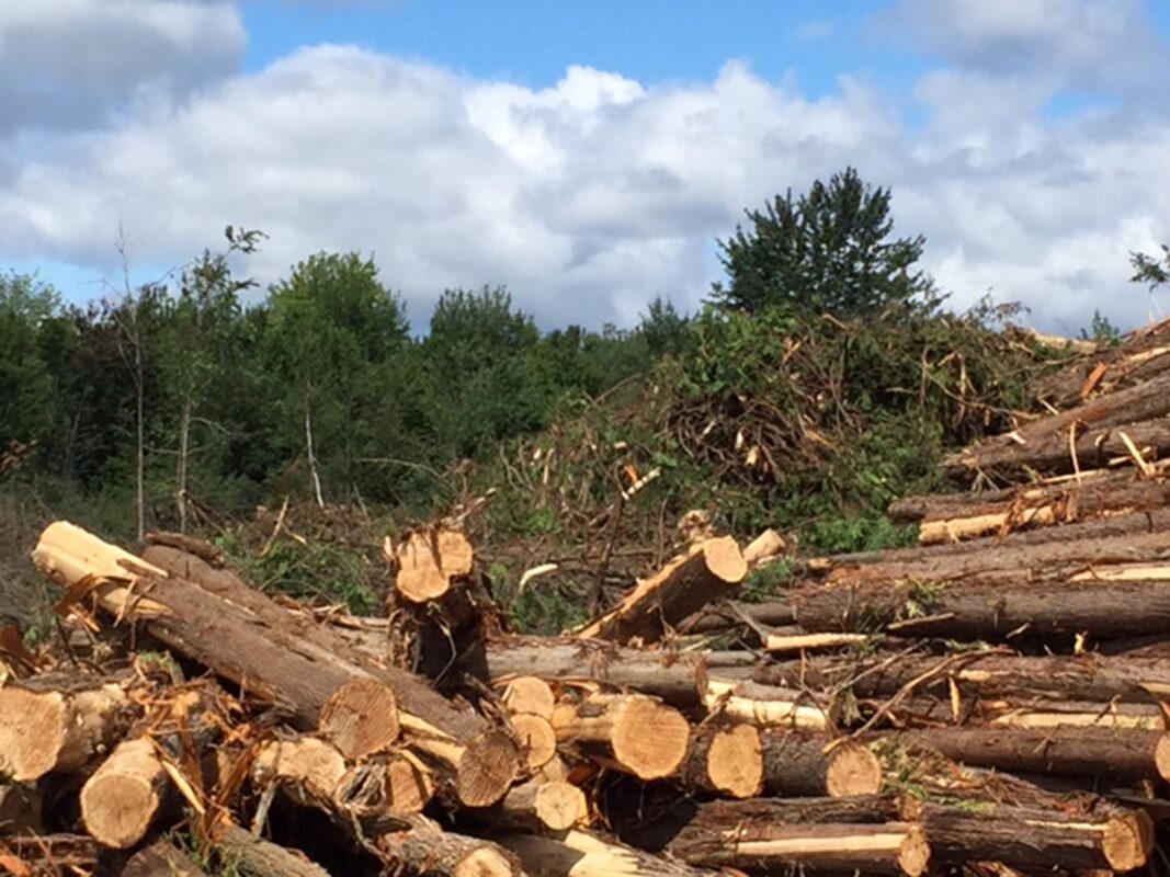
The development of Phases 7, 8 and 9 proposed by Kanata Lakes North (KNL) would sit as a hole-in-a-donut, surrounded by the South March Highlands Conservation Forest (map). The land has been irrevocably approved for development but the proposal faces two major hurdles: How to deal with storm water; and obtaining a permit to destroy habitat for endangered species. The current opportunity to comment is about the endangered species.
The company would be able to destroy endangered species habitat if the Ministry of Natural Resources and Forestry issues a so-called “overall benefit” permit (*). It would come with an undertaking that the proponent would do certain things that are of overall benefit to the affected species.
Its application for such a permit has been posted to the Environmental Bill of Rights web site (No. 012-6270). The comment period would originally end on February 3. The information made available in the Notice is clear on what would be destroyed but vague on what the “overall benefit” would consist of.
Here is a quick review of what KNL would be allowed to do. As noted, a volunteer is ready to assist you further in preparing your comments. Here and here are samples of what you could say.
On the advice of Councillor Marianne Wilkinson we learned that additional information is available from the Ministry. One hundred pages of additional material was sent to us on January 25. Both the Councillor and the Alliance asked to extend the comment period. The comment period has now been extended to February 17.
Here is the additional material:
KNL Overall Benefit Application, part 1 – 29 Oct 2015 (3.3 MB)
KNL Overall Benefit Application, part 2 – 29 Oct 2015 (3.5 MB)
KNL Overall Benefit Application, Supplement, part 1 – 16 Oct 2015 (1.6 MB)
KNL Overall Benefit Application, Supplement, part 2 – 16 Oct 2015 (1.6 MB)
It does not include any maps. Councillor Wilkinson reports (Jan 26):
I now have complete information, including all the maps, and have put a hard copy in a binder in the Beaverbrook Library where anyone can review it. There are a lot of pages and maps included. Please let people you know who may be interested that it is available there. I’ve also asked for an extension of time for public comments and hope to hear back on that soon.
It took 14 days for the above information to be sent to us. Suddenly, within a day, more was received, a total of 91 MB in 22 chopped-up files. Here is a good chunk of it, reconstituted:
Appendix A
— Site plans of phases 7 and 8 (1.6 MB)
— Six maps re Blanding’s Turtle habitat (2.9 MB)
— Five maps re fencing for Blanding’s Turtles (2.6 MB)
— Butternut locations in Phases 7 and 8 (1.5 MB)
— Projected water level fluctuations in Kizell Cell during major storms (0.9 MB)
Appendix B — Data tables — Excerpt re BTs: “Table B” – percent of pre-development habitat saved”
Appendix C — References
Appendix D — Butternut health assessments
Appendix E
— Figures 4A,B: Vegetation communities, Phases 7 and 8 (1.5 MB)
— Figure 5: Blanding’s Turtle habitat and wetland
— Figure 6: Storm water pond options
— Figure 7: Post-development Blanding’s Turtle habitat
— Butternut tree retention maps (1.8 MB)
Appendices of the March 2015 EIS:
— Appendix D: High level storm water solutions for Beaver Pond (2 options)(3.6 MB)
— Appendices E and F: E (vegetation list), F (wildlife list) (3.5 MB)
— Appendix G: Bobolink survey results (0.9 MB)
— Appendix H: Least Bittern survey results (3.0 MB)
— Appendix I: Blanding’s Turtle Nest Protection report (2.5 MB)
— Three maps seemingly related to the Nest Protection report (Figures 1, 5A, 5B) (1.3 MB)
Appendix F: Academic Program Research and Monitoring Proposal (1.2 MB)
Finally, here are some comments already sent in, all but one before the additional material became available.
E.D.
(*) This is as per Section 17(2)(c) of the Ontario Endangered Species Act which reads:
Limitation
(2) The Minister may issue a permit under this section only if,
…
(c) the Minister is of the opinion that the main purpose of the activity authorized by the permit is not to assist in the protection or recovery of the species specified in the permit, but,
(i) the Minister is of the opinion that an overall benefit to the species will be achieved within a reasonable time through requirements imposed by conditions of the permit,
(ii) the Minister is of the opinion that reasonable alternatives have been considered, including alternatives that would not adversely affect the species, and the best alternative has been adopted, and
(iii) the Minister is of the opinion that reasonable steps to minimize adverse effects on individual members of the species are required by conditions of the permit;
Note that all three conditions have to be met for the Minister to issue such a permit.
